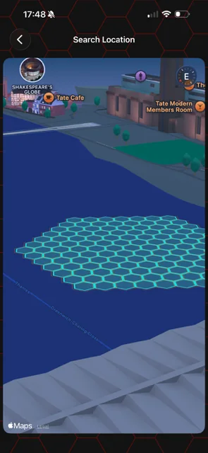
HxAR 2.0 showcase.These screens include released HxAR 2.0 experiences and clearly marked development concepts. Interfaces and features may evolve in later updates.
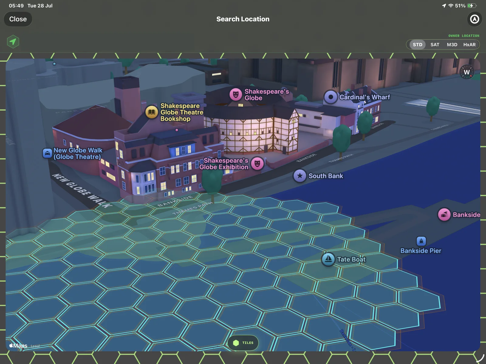
One virtual layer, more than one way to read it
HxAR uses HexTiles as an in-app location layer. The 2.0 interface can place that layer over different map presentations so a user can understand a saved place at a glance.
The outlines shown here represent virtual HexTiles inside HxAR. They are not surveyed boundaries, land-title boundaries or permission to enter a physical location.
3D form helps explain what surrounds a tile
The larger 3D view makes nearby roads, open areas and building mass easier to recognise without turning the screen into a photorealistic model. The mobile view shows how the same grid remains legible in a narrower presentation.
- Zoom and angle controls help change the level of context.
- The same virtual grid remains visible as the map presentation changes.
- Map information is a visual reference rather than a guarantee of real-world accuracy.
Available in HxAR 2.0
These screenshots document the earlier HxAR 2.0 release. Map modes, controls and styling may continue to evolve in later app updates.
More from this view
See the experience from another angle.